| Upper & Lower Froyle | |
|---|---|
 St Mary's Church, Upper Froyle | |
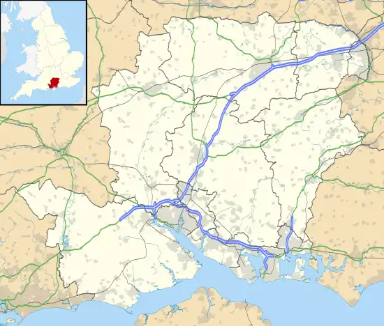
 Upper & Lower Froyle Location within Hampshire | |
| OS grid reference | SU759435 |
| Civil parish |
|
| District | |
| Shire county | |
| Region | |
| Country | England |
| Sovereign state | United Kingdom |
| Post town | Alton |
| Postcode district | GU34 |
| Police | Hampshire and Isle of Wight |
| Fire | Hampshire and Isle of Wight |
| Ambulance | South Central |
| UK Parliament | |
Froyle is a village and civil parish in the East Hampshire district of Hampshire, England. It is 3.6 miles (5.8 km) northeast of Alton. The nearest railway station is 2 miles (3.3 km) east of the village, at Bentley. According to the 2011 census, the parish had a population of 644 people.[1] The village is divided into Upper Froyle, centred around the Church and Manor House, and Lower Froyle which grew up around the farms.[2]
History
Froyle is situated on the edge of The Downs above the Pilgrims' Way that leads from Winchester to Canterbury. It is most likely that, in the winter months, the actual route taken by Pilgrims passed through the village to avoid the wet conditions in the valley of the River Wey. There was a Church at "Froli" (mentioned in the Domesday Book) in 1086. The entry for Froyle also states "Froyle, it was ever there...." and there are traces of habitation on the surrounding downs going back to the Iron Age.
It is also known by some who live there as the 'village of the saints' because of the 19 statues of saints in niches on the front walls of houses and other buildings in Upper Froyle. They were bought by Sir Hubert Miller in the early 20th century from Italy.
Notable people
- Sir John Jephson, MP and Irish Privy councillor (died 1638), Lord of the Manor of Froyle, and his son William Jephson (died 1658), politician and confidant of Oliver Cromwell.
- Rev. Sir Thomas Miller, 6th Baronet: he was both the vicar and the lord of the manor of Froyle. His grandson, Sir Hubert Miller, said of him "My grandfather hunted hard to hounds and drank two bottles of port with his dinner. I wonder he wasn’t sick." It was also reported that on hot Sunday mornings Miller would smash the church windows with his walking stick to let air in, although this is thought likely to be apocryphal.
- Sir Henry John Miller (1830-1918), emigrated to New Zealand and became Speaker of the New Zealand Legislative Council.
Further reading
References
- ↑ "Custom report - Nomis - Official Labour Market Statistics". www.nomisweb.co.uk. Retrieved 26 August 2018.
- ↑ "Froyle, 100 Years of Memories" Booth, Annette http://www.froyle.com/pdf/100_100.pdf Retrieved 26 August 2018.
External links
- Froyle Parish Council
- Froyle Parish Council History (Page 1 of 9)
- Welcome to Froyle
- Froyle Promotions
- The Froyle Archive
- Christopher Hussey’s Froyle Part 1
- Christopher Hussey’s Froyle Part 2
- Froyle Village Hall
- Froyle
- The Church of St Mary of the Assumption, Froyle
- Hampshire Treasures Volume 6 (East Hampshire) Page 147 - Froyle
- Hampshire Treasures Volume 6 (East Hampshire) Page 149 - Froyle
- Hampshire Treasures Volume 6 (East Hampshire) Page 150 - Froyle
- Hampshire Treasures Volume 6 (East Hampshire) Page 151 - Froyle
- Hampshire Treasures Volume 6 (East Hampshire) Page 152 - Froyle
- Hampshire Treasures Volume 6 (East Hampshire) Page 153 - Froyle
- Hampshire Treasures Volume 6 (East Hampshire) Page 154 - Froyle
- The Hen and Chicken
- The Anchor Inn
