Lost River 1 Airport | |||||||||||
|---|---|---|---|---|---|---|---|---|---|---|---|
| Summary | |||||||||||
| Airport type | Private | ||||||||||
| Owner | Ron Sheardown | ||||||||||
| Serves | Lost River, Alaska | ||||||||||
| Elevation AMSL | 80 ft / 24 m | ||||||||||
| Coordinates | 65°23′46″N 167°09′47″W / 65.39611°N 167.16306°W | ||||||||||
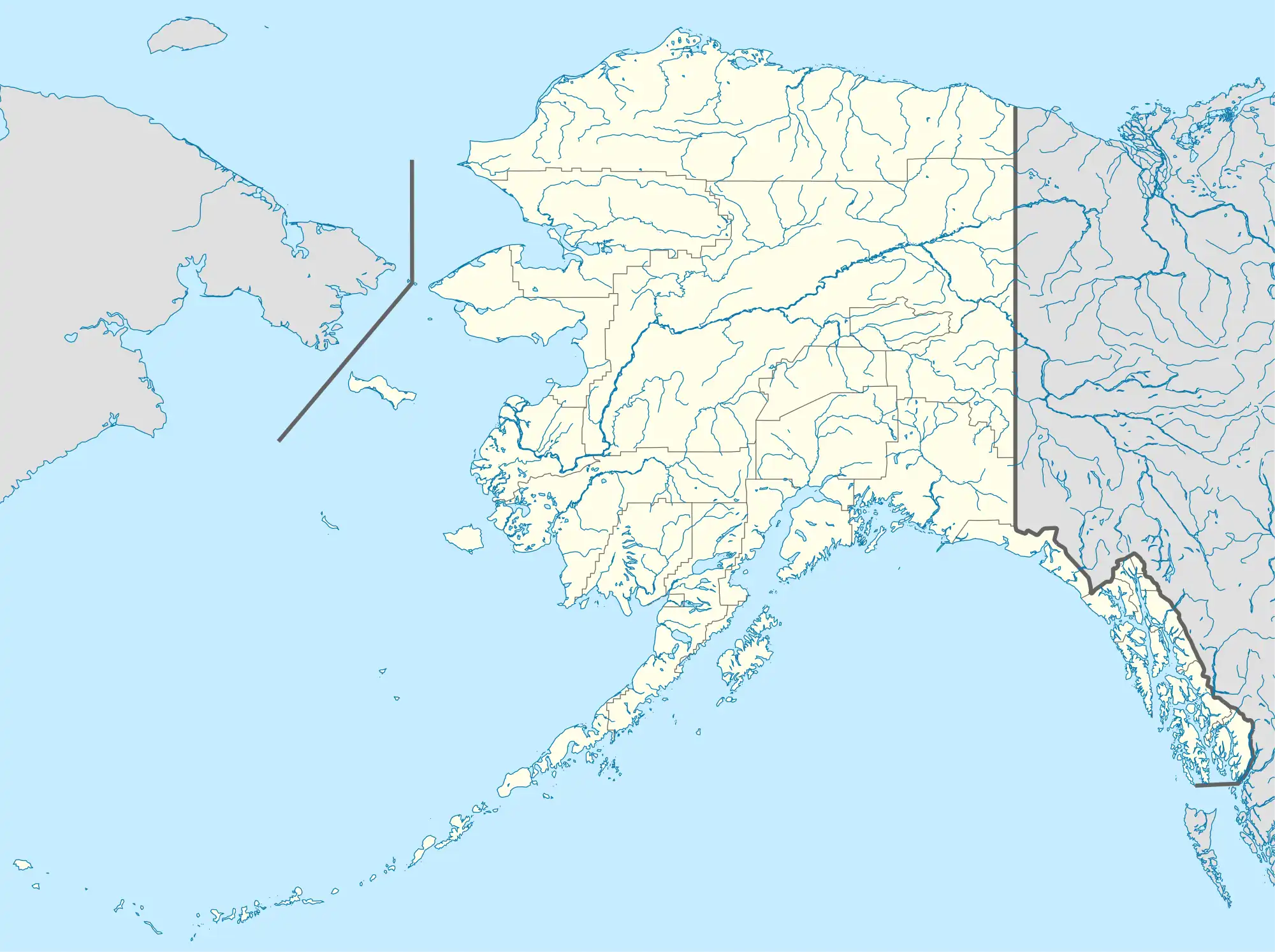
| Map | |||||||||||
 LSR Location of airport in Alaska | |||||||||||
| Runways | |||||||||||
| |||||||||||
| Statistics (1983) | |||||||||||
| |||||||||||
Lost River 1 Airport (FAA LID: LSR) is an airport located at Lost River,[1] in the Nome Census Area of the U.S. state of Alaska.
Facilities and aircraft
Lost River 1 Airport has one runway designated 18/36 with a gravel surface measuring 3,650 by 100 feet (1,113 by 30 metres). For the 12-month period ending August 16, 1983, the airport had 500 aircraft operations, an average of 41 per month: 80% air taxi and 20% general aviation.[1]
See also
- Lost River 2 Airport (FAA LID: AK45) located at 65°27′22″N 167°10′32″W / 65.45611°N 167.17556°W which has a 3,120 by 150 ft (951 by 46 m) gravel runway designated 17/35.[2]
References
- 1 2 3 FAA Airport Form 5010 for LSR PDF. Federal Aviation Administration. effective 27 August 2009.
- ↑ FAA Airport Form 5010 for AK45 PDF. Federal Aviation Administration. effective 25 August 2011.
External links
- FAA Alaska airport diagram (GIF)
- Topographic map from USGS The National Map
- Lost River 1 Airport at SkyVector
This article is issued from Wikipedia. The text is licensed under Creative Commons - Attribution - Sharealike. Additional terms may apply for the media files.