| River Leven (Tasmania) | |
|---|---|
 | |
| Location | |
| Country | Australia |
| State | Tasmania |
| Region | North-west |
| Physical characteristics | |
| Source | Vale of Belvoir Conservation Area |
| • location | near Cradle Mountain |
| • coordinates | 41°31′23″S 145°52′31″E / 41.5231°S 145.8754°E |
| • elevation | 946 m (3,104 ft) |
| Mouth | Bass Strait |
• location | Ulverstone / West Ulverstone midpoint |
• coordinates | 41°08′54″S 146°10′07″E / 41.1482°S 146.1685°E |
• elevation | 0 m (0 ft) |
| Length | 99.3 km (61.7 mi) |
| [1] | |
The River Leven is a perennial river for most of its length, located in the north-western region of Tasmania, Australia.[2] It was named by the Van Diemen's Land Company after the River Leven in Scotland.[1][lower-alpha 1]
Location and features
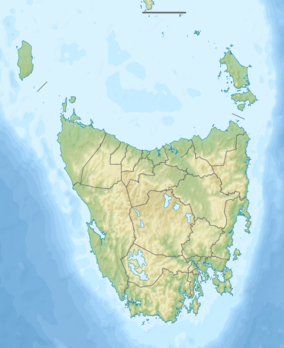
The river rises in the Vale of Belvoir Conservation Area near Cradle Mountain, passes through Leven Canyon, and flows generally north into Bass Strait at Ulverstone. The river descends 946 metres (3,104 ft) over its 99.3-kilometre (61.7 mi) course.[3]
See also
Notes
- ↑ There is more than one River Leven in Scotland. The best-known are River Leven, Dunbartonshire and River Leven, Fife.
References
- 1 2 "Placenames Tasmania - River Leven". placenames.tas.gov.au. Placenames Tasmania. Retrieved 18 December 2018.
Search, enter 340M, Search, select row, show Details
- ↑ Google (18 December 2018). "River Leven, Tasmania" (Map). Google Maps. Google. Retrieved 18 December 2018.
- ↑ "Map of River Leven, TAS". Bonzle Digital Atlas of Australia. 2018. Retrieved 18 December 2018.
This article is issued from Wikipedia. The text is licensed under Creative Commons - Attribution - Sharealike. Additional terms may apply for the media files.
