Kawkab
كوكب | |
|---|---|
Village | |
 Kawkab Location in Syria | |
| Coordinates: 33°22′51″N 36°10′55″E / 33.38083°N 36.18194°E | |
| Country | |
| Governorate | Rif Dimashq Governorate |
| District | Qatana District |
| Nahiyah | Qatana |
| Population (2004 census)[1] | |
| • Total | 1,188 |
| Time zone | UTC+2 (EET) |
| • Summer (DST) | UTC+3 (EEST) |
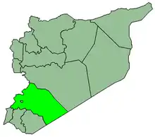
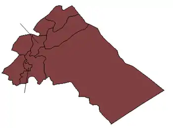
Kawkab (Arabic: كوكب) is a Syrian village in the Qatana District of the Rif Dimashq Governorate. Kawkab is Arabic for "star".[2] According to the Syria Central Bureau of Statistics (CBS), Kawkab had a population of 1,188 in the 2004 census.[1]
History
In 1838, Eli Smith noted it as a village, located in Wady 'el-Ajam, between Damascus and the Hauran.[3]
On 30 September, 1918 Kawkab was the site of the World War I successful "Charge at Kaukab" of the Australian 4th and 12th Light Horse Regiments directed against dug-in German and Ottoman remnants of the Seventh and Eighth Armies, joined by units from Damascus.
References
- 1 2 General Census of Population and Housing 2004. Syria Central Bureau of Statistics (CBS). Rif Dimashq Governorate. (in Arabic)
- ↑ Palmer, E.H. (1881). The Survey of Western Palestine: Arabic and English Name Lists Collected During the Survey by Lieutenants Conder and Kitchener, R. E. Transliterated and Explained by E.H. Palmer. Committee of the Palestine Exploration Fund. p. 162.
- ↑ Robinson and Smith, 1841, vol 3, 2nd appendix, p. 148
Bibliography
This article is issued from Wikipedia. The text is licensed under Creative Commons - Attribution - Sharealike. Additional terms may apply for the media files.

