| K'isi K'isini | |
|---|---|
 K'isi K'isini as seen from Lake Chungara in Chile | |
| Highest point | |
| Elevation | 5,536 m (18,163 ft)[1] |
| Coordinates | 18°14′20″S 69°03′52″W / 18.23889°S 69.06444°W |
| Geography | |
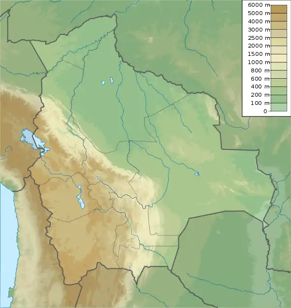
 K'isi K'isini Bolivia | |
| Location | Bolivia, Oruro Department, Sajama Province, Curahuara de Carangas Municipality |
| Parent range | Andes, Cordillera Occidental |
K'isi K'isini (Aymara[2] and Quechua expression, k'isi a stipa variety,[3] the reduplication signifies there is a group or complex of something, the Aymara suffix -ni indicates ownership, "the one with a group of stipa", Hispanicized spelling Quisi Quisini) is a 5,536-metre-high (18,163 ft) mountain in the Cordillera Occidental in the Andes of Bolivia. It is located in the Oruro Department, Sajama Province, Curahuara de Carangas Municipality, Sajama Canton. K'isi K'isini is situated inside the boundaries of the Sajama National Park,[4] south-east of the Parina Quta and Pomerape volcanoes and north of the Bolivian route 4 that leads to the Chungara–Tambo Quemado mountain pass on the border with Chile.

K'isi K'isini and Lake Chungara as seen from Lauca National Park
See also
References
- ↑ Bolivian IGM map 1:50,000 Quisi Quisini Hoja 5739-II
- ↑ Román Mamani Rodriguez, Los idiomas originarios como segunda lengua en educación, Seminario Taller Nacional: Lenguas andinas y su enseñanza en contextos urbanos, Universidad Mayor de San Simón, Cochabamba, 26 de noviembre de 2005 (in Spanish and Aymara): Uraqi sutinaka (Nombre de lugares): K'isi K'isini
- ↑ illa-a.org (Quechua-Spanish dictionary)
- ↑ lib.icimod.org Dirk Hoffmann, The Sajama National Park in Bolivia, Mountain Research and Development Vol 27 No 1 February 2007 (see map on p. 12)
External links
This article is issued from Wikipedia. The text is licensed under Creative Commons - Attribution - Sharealike. Additional terms may apply for the media files.
