| Horton | |
|---|---|
 Horton parish church | |
 Horton Location within Northumberland | |
| OS grid reference | NZ285815 |
| Civil parish | |
| Unitary authority | |
| Ceremonial county | |
| Region | |
| Country | England |
| Sovereign state | United Kingdom |
| Post town | BLYTH |
| Postcode district | NE24 |
| Police | Northumbria |
| Fire | Northumberland |
| Ambulance | North East |
| UK Parliament | |
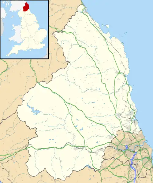
Horton is a former civil parish, now in the parish of Blyth, in Northumberland, England, about 2 miles (3 km) west of Blyth, and south of the River Blyth. Historically a chapelry of Woodhorn,[1] it became part of Blyth Urban District in 1912, and in 1920 it was abolished, when it was combined with Bebside, Cowpen, and Newsham and South Blyth to form a single parish for the district.[2] In 1911 the parish had a population of 2546.[3]
The place-name Horton is a common one in England. It derives from Old English horu ("dirt") and tūn ("settlement, farm, estate"), presumably meaning "farm on muddy soil".[4]
Religious sites
The church is dedicated to St Mary the Virgin.[5]
References
- ↑ "Horton". GENUKI. Retrieved 26 January 2022.
- ↑ "Horton Ch/CP through time". A Vision of Britain through Time. GB Historical GIS / University of Portsmouth. Retrieved 20 January 2020.
- ↑ "Population statistics Horton Ch/CP through time". A Vision of Britain through Time. Retrieved 26 January 2022.
- ↑ Victor Watts (ed.), The Cambridge Dictionary of English Place-Names, Based on the Collections of the English Place-Name Society (Cambridge: Cambridge University Press, 2004), s.v. HORTON.
- ↑ Purves, Geoffrey (2006). Churches of Newcastle and Northumberland. Stroud, Gloucestershire, England: Tempus Publishing Limited. p. 80. ISBN 0-7524-4071-3. Archived from the original on 13 January 2016.
This article is issued from Wikipedia. The text is licensed under Creative Commons - Attribution - Sharealike. Additional terms may apply for the media files.