| Helpe Majeure | |
|---|---|
 The weir in Avesnes-sur-Helpe | |
  | |
| Location | |
| Country | France |
| Physical characteristics | |
| Mouth | Sambre |
• coordinates | 50°10′21″N 3°47′46″E / 50.1725°N 3.7962°E |
| Length | 69.1 km (42.9 mi) |
| Basin size | 329 km2 (127 sq mi) |
| Discharge | |
| • average | 3.86 m3/s (136 cu ft/s) |
| Basin features | |
| Progression | Sambre→ Meuse→ North Sea |
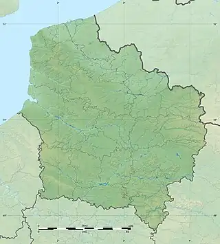
Helpe Majeure (French pronunciation: [ɛlp maʒœʁ]) is a river that runs through the Nord department in the Hauts-de-France region of France. It rises in the municipality of Ohain, with about a third of its watershed in Belgium, near the town of Momignies. The river initially marks the Franco-Belgian border as it flows north. Then it turns west and flows for 69 kilometres (43 mi) to its confluence north of Noyelles-sur-Sambre, as a southern tributary of the Sambre.[1]
See also
- Lac du Val-Joly, an artificial lake in France, created by damming the Helpe Majeure
References
- ↑ (in French) Sandre. "Fiche cours d'eau - Helpe Majeure (D0150650)". Retrieved March 2014.
This article is issued from Wikipedia. The text is licensed under Creative Commons - Attribution - Sharealike. Additional terms may apply for the media files.