| Harker Creek | |
|---|---|
  | |
| Location | |
| Country | United States |
| State | Wisconsin |
| Physical characteristics | |
| Source | |
| • location | Iowa County, Wisconsin |
| • elevation | 390 m (1,280 ft) |
| Mouth | |
• location | Flint Creek, Wisconsin |
| Length | 7.5 km (4.7 mi) |
| Discharge | |
| • average | 2.5 cu ft/s (0.071 m3/s) |
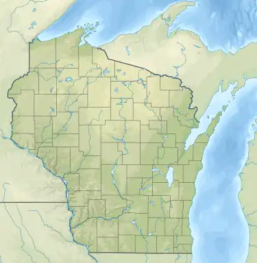
Harker Creek is a stream located in Iowa County, Wisconsin. The upper end of the creek is approximately 10 km (6.2 mi) west-northwest of the county seat, Dodgeville. The creek flows roughly north-south, and is approximately 7.5 km (4.7 mi) in total length. It drains into Flint Creek at its northern end at 248 m (814 ft) above sea level. The lower portion of the creek is paralleled by Mount Hope Road and Berg Road. Lee Creek drains into Harker Creek at 255 m (838 ft) elevation. The upper portion of Harker Creek is surrounded by steep hills that extend as high as 30 m (100 ft) above the creek. At its highest point, the creek is at approximately 390 m (1280 ft) elevation. The southernmost reentrants of the creek are within 400 m (1300 ft) of U.S. Route 18.
References
- Water Action Volunteers (2003). Citizen Stream Monitoring Data Summary. Retrieved Aug. 15, 2006.
External links
- Harker Creek water conditions - Water Action Volunteers Citizen Monitoring Database
43°02′06″N 90°14′18″W / 43.0351°N 90.2382°W