Donji Korićani
Доњи Корићани | |
|---|---|
Village | |
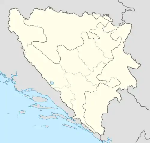
 Donji Korićani Location in Bosnia and Herzegovina | |
| Coordinates: 44°22′11″N 17°31′25″E / 44.3697°N 17.5236°E | |
| Country | |
| Entity | |
| Municipality | Kneževo |
| Highest elevation | 1,200 m (3,900 ft) |
| Lowest elevation | 1,150 m (3,770 ft) |
| Population (1991) | |
| • Total | 650 |
| Area code | (+387) 51 |
Donji Korićani (Serbian: Доњи Корићани) is populated place in Bosnia and Herzegovina, Republika Srpska, Kneževo Municipality.[1] The village is located on a hill (about 1150 m) between Pougarje and Ilomska's branch of Korićanske stijene.[2][3][4][5]
On census year 2013, in the Donji Korićani were a total of 105 inhabitants.
History
The settlement Donji Korićani to the War in Bosnia and Herzegovina (1992-1995) in general was located in the Travnik Municipality.
Population
| Donji Korićani;Census Year 2013: Total of 105 inhabitants | ||||||
| Census Year | 1991. | 1981. | 1971. | |||
| Serbs | 477 (72,60%) | 428 (72,79%) | 470 (77,30%) | |||
| Croats | 173 (26,33%) | 151 (25,68%) | 134 (22,04%) | |||
| Bosniaks | – | – | 3 (0,493%) | |||
| Yugoslavs | – | 8 (1,361%) | – | |||
| Others and unknown | – | 1 (0,170%) | 1 (0,164%) | |||
| Total | 650 | 588 | 608 | |||
See also
References
- ↑ "Općina Travnik". nasbih.com. Archived from the original on 2017-04-01. Retrieved 2017-03-14.
- ↑ "Gornji Koricani, Bosnia & Herzegovina Page". fallingrain.com. Archived from the original on 2016-03-03. Retrieved 2017-03-14.
- ↑ "Home". kartabih.com.
- ↑ Vojnogeografski institut, Ed. (1962): Travnik (List karte 1:100.000, Izohipse na 20 m). Vojnogeografski institut, Beograd.
- ↑ Mučibabić B., ed. (1998). Geografski atlas Bosne i Hercegovine. Sarajevo: Geodetski zavod BiH. ISBN 9958-766-00-0.
- ↑ "Naselje Donji Korićani". nasbih.com.
- ↑ "Nacionalni sastav stanovništva Republike Bosne i Hercegovine 1991. (str. 105)" (PDF). fzs.ba.
- ↑ "Nacionalni sastav stanovništva SFR Jugoslavije 1981" (PDF). stat.gov.rs.
- ↑ "Nacionalni sastav stanovništva SFR Jugoslavije 1971" (PDF). stat.gov.rs.
External links
This article is issued from Wikipedia. The text is licensed under Creative Commons - Attribution - Sharealike. Additional terms may apply for the media files.