Davis–Ercanbrack Farmstead | |
Formerly listed on the U.S. National Register of Historic Places | |
  | |
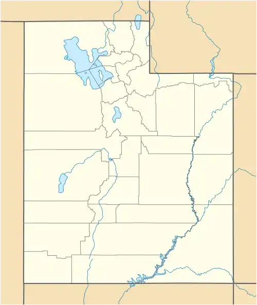
| Location | 2044 South Main Street Orem, Utah United States |
|---|---|
| Coordinates | 40°15′37″N 111°41′40″W / 40.26028°N 111.69444°W |
| Area | 8.1 acres (3.3 ha) |
| Built | c.1870[1] |
| MPS | Orem, Utah MPS |
| NRHP reference No. | 98001213[2] |
| Significant dates | |
| Added to NRHP | October 2, 1998 |
| Removed from NRHP | July 23, 2018 |
The Davis–Ercanbrack Farmstead was a farmstead on the southern edge of Orem, Utah, United States, that was previously listed on the National Register of Historic Places (NRHP).[2]
Description
The former farmstead, located at 2044 South Main Street, was built in 1905. The core of the house dates from c.1870 but alterations since have been so considerable that no part clearly evokes that era. The historically significant period of the surviving property dates from 1905. Also, fruit was first grown on the property in 1905. [1]: 12
It was listed on the NRHP October 2, 1998. The listing included four contributing buildings on 8.1 acres (3.3 ha).[2] After the Legacy Ridge residential development was built on the site of the former farmstead, the property was delisted from the NRHP July 23, 2018.
See also
References
- 1 2 Jensen, J. Cory (January 1998). "National Register of Historic Places Registration: Davis/Ercanbrack Farmstead". nps.gov. National Park Service. Retrieved November 22, 2018. and 11 accompanying photos (see captions p.10 of text document)
- 1 2 3 "National Register Information System". National Register of Historic Places. National Park Service. July 9, 2010.
External links
- Davis/Ercanbrack Farmstead on JacobBarlow.com ~ Exploring with Jacob Barlow

