Dar el-Salam
دار السلام | |
|---|---|
city | |
 | |
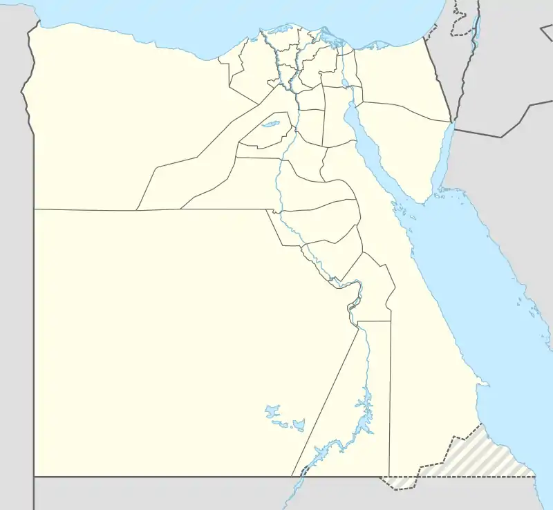
 Dar el-Salam Location in Egypt | |
| Coordinates: 26°16′N 32°03′E / 26.267°N 32.050°E | |
| Country | |
| Governorate | Sohag |
| Area | |
| • Total | 87.8 sq mi (227.3 km2) |
| Elevation | 226 ft (69 m) |
| Population | |
| • Total | 451,506 |
| • Density | 5,100/sq mi (2,000/km2) |
| Time zone | UTC+02:00 (EST) |
| • Summer (DST) | +3 |
Dar el-Salam (Arabic: دار السلام, lit. 'abode of peace') is a small Upper Egyptian city near Akhmim. It is located on the east bank of the Nile, in the Sohag Governorate.[2]
The city used to be two separate villages – Naga el Daba (Arabic: نجع الدابة) and El Galaila (Arabic: الجلايلة).
About
The city of Dar el-Salam had a population of 39,500 in 2001.
In a 2008 report produced by the local authorities of Dar el-Salam, a high illiteracy rate of 35% amongst males and 48% amongst females was identified, putting the overall illiteracy rate at 41.5% of the total population.[3]
In 2011, Dar el-Salam was identified by the United Nations Development Programme's Egypt Human Development Report (EHDR) as one of Egypt's five poorest districts on the Human Development Index for the second year in a row.[4]
Sectarianism
In 2008 sectarian clashes occurred in the Dar El Salam region in the village Kosheh between Coptic Christians and Muslims resulting in the deaths of 20 Copts and 1 Muslim.[4]
In 2008 in the town of Beit Alim, a vendetta feud between two families left 22 members of one family dead, including a nine-year-old child.[4]
See also
References
- 1 2 3 "Dar as-Salām (Markaz, Egypt) - Population Statistics, Charts, Map and Location". citypopulation.de. Retrieved 17 March 2023.
- ↑ "Upper Egypt: Constraints to Shared Growth-Village Case Studies" (PDF). 2016-03-03. Archived from the original (PDF) on 2016-03-03. Retrieved 2022-11-22.
- ↑ The problems of Dar El-Salam district, report prepared by Dar El-Salam local authorities, October 2008
- 1 2 3 "Al-Ahram Weekly | Features | South of Sohag". 2003-05-02. Archived from the original on 2003-05-02. Retrieved 2022-11-22.