Civitella Roveto | |
|---|---|
| Comune di Civitella Roveto | |
 | |
Location of Civitella Roveto | |
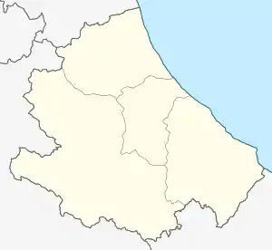
 Civitella Roveto Location of Civitella Roveto in Italy  Civitella Roveto Civitella Roveto (Abruzzo) | |
| Coordinates: 41°55′1″N 13°25′40″E / 41.91694°N 13.42778°E | |
| Country | Italy |
| Region | Abruzzo |
| Province | L'Aquila (AQ) |
| Frazioni | Case di Spaccio, Meta, Peschiera, Polverelli, San Savino |
| Government | |
| • Mayor | Raffaellino Tolli |
| Area | |
| • Total | 45.33 km2 (17.50 sq mi) |
| Elevation | 528 m (1,732 ft) |
| Population (31 July 2015)[2] | |
| • Total | 3,292 |
| • Density | 73/km2 (190/sq mi) |
| Demonym | Civitellesi |
| Time zone | UTC+1 (CET) |
| • Summer (DST) | UTC+2 (CEST) |
| Postal code | 67054 |
| Dialing code | 0863 |
| Patron saint | St. John the Baptist |
| Saint day | 24 June |
| Website | Official website |
Civitella Roveto (Abruzzese: Civëtèllë) is a comune and town in the province of L'Aquila in the Abruzzo region of central Italy.
Geography
The town isin the Marsica region, located in the center of the Roveto valley, on the slopes of the Cantari mountains under the Mount Viglio (2 156 m). The ancient nucleus of Civitella Roveto was on the western side of the Liri River.
Twin towns
Civitella Roveto is twinned with:
References
- ↑ "Superficie di Comuni Province e Regioni italiane al 9 ottobre 2011". Italian National Institute of Statistics. Retrieved 16 March 2019.
- ↑ All demographics and other statistics from the Italian statistical institute (Istat)
This article is issued from Wikipedia. The text is licensed under Creative Commons - Attribution - Sharealike. Additional terms may apply for the media files.