| Cerro Teotepec | |
|---|---|
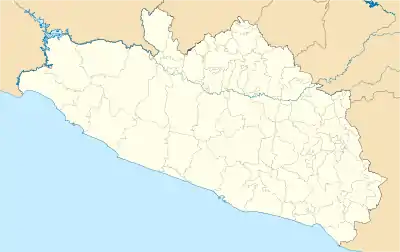
 Cerro Teotepec Location of Cerro Teotepec in Guerrero | |
| Highest point | |
| Elevation | 3,540 m (11,610 ft)[1][2] |
| Prominence | 2,160 m (7,090 ft)[2] |
| Coordinates | 17°28′7″N 100°8′13″W / 17.46861°N 100.13694°W |
| Geography | |
| Location | Atoyac de Álvarez and General Heliodoro Castillo Guerrero, Mexico |
| Parent range | Sierra Madre del Sur |
Cerro Teotepec or Cerro Tiotepec is a mountain summit located in the Mexican state of Guerrero. It is 3,550 meters high and is located in the Sierra Madre del Sur mountain range. It is located in the municipalities of Atoyac de Álvarez and General Heliodoro Castillo.
References
- ↑ "Cerro de teotepec 3,550 MSNM".
- 1 2 "Cerro Tiotepec, Mexico". Peakbagger.com. Retrieved 2020-08-31.
This article is issued from Wikipedia. The text is licensed under Creative Commons - Attribution - Sharealike. Additional terms may apply for the media files.