Bradeliškės hillfort | |
|---|---|
 Bradeliškės hillfort | |
| Coordinates: 54°49′30″N 24°56′35″E / 54.82500°N 24.94306°E | |
| Country | |
| Ethnographic region | Dzūkija |
| County | Vilnius County |
| Municipality | Vilnius district municipality |
| Eldership | Dūkštos Eldership |
| Time zone | UTC+2 (EET) |
| • Summer (DST) | UTC+3 (EEST) |
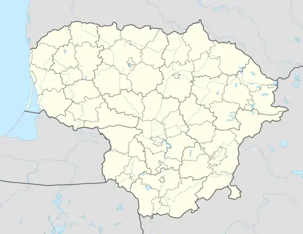
The Bradeliškės hill fort (also called Pakilta ) is a hill fort (piliakalnis) in Vilnius district municipality, Lithuania.
Details
The hill fort is situated near the Bradeliškės village and on the left bank of the Dūkšta River, close to its confluence with Neris.[1] It is within the Neris Regional Park territory.
It was once a wooden castle with surrounding fortifications.[2]
In June 2023, Bradeliškės hillfort was added to the national register as a protected area of national significance.[2]
.jpg.webp)
Bradeliškės hillfort from the north
See also
References
- ↑ "Karmazinų pilkapyno tyrinėjimai 1997 metais" Archived 2011-07-19 at the Wayback Machine ("1997 Exploration of Karmazinai Tumuli") by Gintautas Vėlius (in Lithuanian)
- 1 2 "Bradeliškių piliakalnis su papiliu paskelbti valstybės saugomais". madeinvilnius.lt. 11 June 2023. Retrieved 11 June 2023.
This article is issued from Wikipedia. The text is licensed under Creative Commons - Attribution - Sharealike. Additional terms may apply for the media files.