Bordj Bou Arreridj
برج بوعريريج | |
|---|---|
 Bordj Bou Arréridj, N5 national highway across the downtown. | |
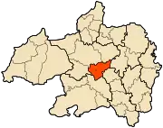
 Location of Bordj Bou Arréridj, Algeria within Bordj Bou Arréridj Province | |
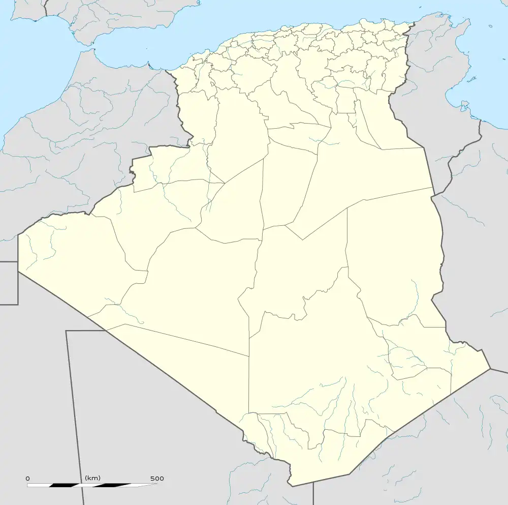
 Bordj Bou Arreridj Location of Bordj Bou Arréridj within Algeria | |
| Coordinates: 36°04′00″N 4°46′00″E / 36.066667°N 4.766667°E | |
| Country | |
| Province | Bordj Bou Arréridj |
| District | Bordj Bou Arréridj District |
| Area | |
| • Total | 81.10 km2 (31.31 sq mi) |
| Elevation | 928 m (3,045 ft) |
| Population (2008 census) | |
| • Total | 158,812 |
| • Density | 2,000/km2 (5,100/sq mi) |
| Time zone | UTC+1 (CET) |
| Postal code | 34000 |
| Climate | BSk |
Bordj Bou Arréridj (Arabic: برج بوعريريج) is the capital city of Bordj Bou Arréridj Province, Algeria. According to the 2008 estimation, its population was 168,346. It is situated 148 miles by road east of Algiers, near the Hodna Massif in the southern Kabylie Mountains, at an elevation of 916 metres.
The economy is largely based upon agriculture and forestry, with some small-scale industries. Bordj Bou Arréridj is well-connected to other urban centres by road and rail. The cities of Sétif and Bouira are 70 km east and 115 km northwest, respectively. CA Bordj Bou Arréridj (CABBA) is a 1st Level Algerian professional football club based in town; its home grounds are 20 August 1955 Stadium in Mohamed Belouizdad.
| Year | Population |
|---|---|
| 1901 | 7,400 |
| 1948 | 21,900 |
| 1954 | 24,000 |
| 1966 | 33,800 |
| 1977 | 54,500 (town) 65,000 (municipality) |
| 1987 | 84,300 |
| 1998 | 129,000 |
| 2008 | 168,346 |
Economy
The city is considered highly innovative for presence of many high-tech. The city is home to a number of technology companies. The city is home to the headquarters of Condor Electronics.[2]
Sports
Bordj Bou Arréridj has a team in the Algerian Ligue Professionnelle 1: CA Bordj Bou Arréridj, founded in 1931. They also have two teams in the Algerian Basketball Championship: IRB Bordj Bou Arréridj and OS Bordj Bou Arréridj.
Climate
| Climate data for Bordj Bou Arréridj (1991–2020) | |||||||||||||
|---|---|---|---|---|---|---|---|---|---|---|---|---|---|
| Month | Jan | Feb | Mar | Apr | May | Jun | Jul | Aug | Sep | Oct | Nov | Dec | Year |
| Record high °C (°F) | 23.0 (73.4) |
26.5 (79.7) |
28.9 (84.0) |
31.2 (88.2) |
39.6 (103.3) |
42.1 (107.8) |
43.5 (110.3) |
42.5 (108.5) |
37.7 (99.9) |
34.5 (94.1) |
27.1 (80.8) |
22.8 (73.0) |
43.5 (110.3) |
| Mean daily maximum °C (°F) | 11.2 (52.2) |
12.4 (54.3) |
16.1 (61.0) |
19.7 (67.5) |
25.2 (77.4) |
31.3 (88.3) |
35.5 (95.9) |
34.8 (94.6) |
28.5 (83.3) |
23.0 (73.4) |
15.8 (60.4) |
11.9 (53.4) |
22.1 (71.8) |
| Daily mean °C (°F) | 6.6 (43.9) |
7.4 (45.3) |
10.6 (51.1) |
13.6 (56.5) |
18.5 (65.3) |
23.9 (75.0) |
27.9 (82.2) |
27.3 (81.1) |
22.1 (71.8) |
17.3 (63.1) |
11.1 (52.0) |
7.6 (45.7) |
16.2 (61.2) |
| Mean daily minimum °C (°F) | 2.0 (35.6) |
2.4 (36.3) |
5.0 (41.0) |
7.5 (45.5) |
11.7 (53.1) |
16.4 (61.5) |
20.2 (68.4) |
19.7 (67.5) |
15.6 (60.1) |
11.7 (53.1) |
6.4 (43.5) |
3.2 (37.8) |
10.2 (50.4) |
| Record low °C (°F) | −7.5 (18.5) |
−7.3 (18.9) |
−3.3 (26.1) |
−2.8 (27.0) |
−1.9 (28.6) |
2.0 (35.6) |
9.1 (48.4) |
10.9 (51.6) |
7.4 (45.3) |
1.2 (34.2) |
−2.6 (27.3) |
−3.6 (25.5) |
−7.5 (18.5) |
| Average precipitation mm (inches) | 37.3 (1.47) |
27.7 (1.09) |
33.4 (1.31) |
39.2 (1.54) |
37.0 (1.46) |
20.2 (0.80) |
8.9 (0.35) |
15.4 (0.61) |
44.1 (1.74) |
29.7 (1.17) |
32.2 (1.27) |
31.7 (1.25) |
356.8 (14.05) |
| Average precipitation days (≥ 1.0 mm) | 6.4 | 5.9 | 5.9 | 5.4 | 5.2 | 3.1 | 1.7 | 2.6 | 5.0 | 4.8 | 5.8 | 5.9 | 57.7 |
| Mean monthly sunshine hours | 186.3 | 193.0 | 230.7 | 257.3 | 301.8 | 332.7 | 354.6 | 324.8 | 256.4 | 238.8 | 181.3 | 172.9 | 3,030.6 |
| Source: NOAA[3] | |||||||||||||
Notes
- ↑ "populstat.info". populstat.info. Archived from the original on 2016-03-03. Retrieved 2014-04-09.
- ↑ "The Condor Allure X: A Premium Smartphone with a 6.39-Inch AMOLED Display for €300".
- ↑ "Bordj Bou Arréridj Climate Normals 1991–2020". World Meteorological Organization Climatological Standard Normals (1991–2020). National Oceanic and Atmospheric Administration. Archived from the original on 26 September 2023. Retrieved 26 September 2023.
36°04′N 4°46′E / 36.067°N 4.767°E
.svg.png.webp)