| Blackmore Pond | |
|---|---|
 Blackmore Pond  Blackmore Pond | |
| Location | Wareham, Massachusetts |
| Coordinates | 41°45′22″N 70°45′08″W / 41.75611°N 70.75222°W |
| Type | reservoir |
| Basin countries | United States |
| Surface area | 46 acres (19 ha) |
| Surface elevation | 16 ft (5 m)[1] |
| Settlements | South Wareham |
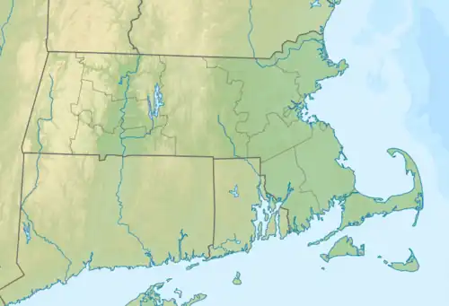
Blackmore Pond is a 46-acre (190,000 m2) reservoir in Wareham, Massachusetts, United States, in the South Wareham section of town. The pond is located south of Horseshoe Pond and west of the Weweantic River. Interstate 195 runs southeast of the pond.
References
External links
This article is issued from Wikipedia. The text is licensed under Creative Commons - Attribution - Sharealike. Additional terms may apply for the media files.