Bairola | |
|---|---|
village | |
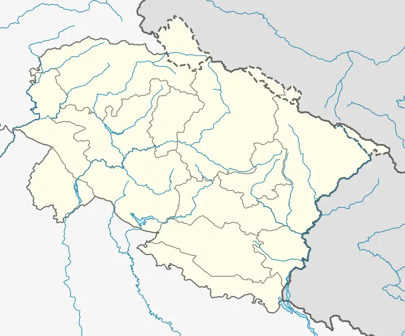
 Bairola Location in Uttarakhand, India  Bairola Bairola (India) | |
| Coordinates: 30°08′57″N 78°36′07″E / 30.149061°N 78.601813°E | |
| Country | |
| State | Uttarakhand |
| District | Nainital |
| Languages | |
| • Official | Hindi |
| Time zone | UTC+5:30 (IST) |
| Vehicle registration | UK |
| Coastline | 0 kilometres (0 mi) |
| Nearest city | Almora |
| Website | uk |
Bairola is a village in the quili patti of Tehri Garhwal district of Uttarakhand state, India where a large community of Uniyal Brahmins lives. The Garhwali language is the most spoken language here, while Hindi is the official language and legible to everyone.
This article is issued from Wikipedia. The text is licensed under Creative Commons - Attribution - Sharealike. Additional terms may apply for the media files.