Armstrong's Point | |
|---|---|
Neighbourhood | |
 East Blanchard Park, Winnipeg | |
 Armstrong's Point | |
| Coordinates: 49°52′37″N 97°9′23″W / 49.87694°N 97.15639°W | |
| Country | |
| Province | |
| Established | 1880 |
| Government | |
| • Councillor | Sherri Rollins |
| • MLA | Lisa Naylor |
| • MP | Leah Gazan |
| Area | |
| • Total | 0.3 km2 (0.1 sq mi) |
| Elevation | 234 m (768 ft) |
| Population (2016) | |
| • Total | 370 |
| • Density | 1,200/km2 (3,200/sq mi) |
| Time zone | UTC−6 (CST) |
| • Summer (DST) | UTC−5 (CDT) |
| Forward Sortation Area | |
| Area codes | 204, 431 |
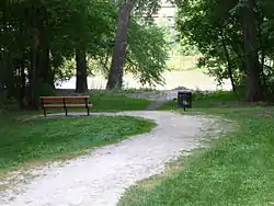
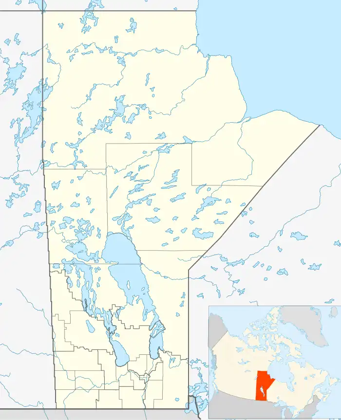
Armstrong's Point (informally referred to as The Gates) is a neighbourhood in Winnipeg, Manitoba.[1] It is located in the West End of the city and in a large bend in the Assiniboine River. The land was developed in the late 19th and early 20th centuries as a residential district.[2]
History
The Hudson's Bay Company deeded the land to Joseph Hill who arrived at Red River of the North in 1849 with a Pensioner Regiment. The area was originally called Point-a-Peltier.[3] In 1854, returning to England, Hill put James Armstrong (1790-1874) in charge of the property. Hearing of Hill's death, the property was sold to Francis Evans Cornish, the first mayor of Winnipeg. In the early 1880s, Hill returned to Winnipeg, and reestablished his ownership of the land before selling it to a speculators' syndicate in April 1881 for $28,000. The speculators renamed the area Victoria Place, though officially it was known as Registered Plan 119.[4]

During the period of 1880 through 1920, houses were built on its four roads, Cornish Avenue, East Gate, West Gate, and Middle Gate.[5] The first home was completed in 1882.
Architecture
Some of the buildings in Armstrong's Point that are historically significant are:
- 20 West Gate, the Cornish Library, completed in 1915
- 40 West Gate, which became the French Consulate
- 54 West Gate, the Ralph Connor House, which became a National Historic Site
- 86 West Gate, which became Westgate Mennonite Collegiate (demolished 1989).[6]
- 134 West Gate, which became the Japanese Consulate
- 158 West Gate, which became St. John's-Ravenscourt School (demolished 1950).[6]
Gates
The Gates at East Gate, West Gate, Middle Gate, were designed by the architect Lt. Col. Henry Norland Ruttan in 1911,[7] and built in the same year. Flanking three entrances to the Winnipeg neighbourhood, they are nearly identical construction, built of stone and wrought-iron, and of Classical Revival style. Funded by residents and built by the city's engineering department, the Gates are unique, having been built by the property owners instead of a real estate developer.[8]
Politics
Armstrong's Point is represented by Sherri Rollins in the city ward of Fort Rouge - East Fort Garry at the municipal level,[9] Lisa Naylor in the constituency of Wolseley at the provincial level, and Leah Gazan in the constituency of Winnipeg Centre at the federal level.[10] (For census data, Statistics Canada places Armstrong's Point as part of the Downtown community area).[11]
Overall, the neighbourhood is politically diverse and does not generally support any candidate with a large majority.[12][10][13] Voter turnout for the 2008 federal election was 56%.[10]
Demographics
| Year | Pop. | ±% |
|---|---|---|
| 1971 | 535 | — |
| 1976 | 470 | −12.1% |
| 1981 | 420 | −10.6% |
| 1986 | 395 | −6.0% |
| 1991 | 360 | −8.9% |
| 1996 | 330 | −8.3% |
| 2001 | 400 | +21.2% |
| 2006 | 360[14] | −10.0% |
The 2016 population of the neighbourhood was 370 people. The median household income in Armstrong's Point was $59,421.[15]
References
- Sources
- A Pictorial History of Early Armstrong's Point. Guy, R.D., UM Digital Collections (Undated, possibly post-1950).
- Notes
- ↑ "TimeLinks: Armstrong's Point". The Manitoba Historical Society. 29 August 2009. Retrieved 28 April 2011.
- ↑ LeBoldus, Pamela; Rosemary Malaher (Spring 1983). "A Walking Tour of Armstrong's Point". Manitoba History. The Manitoba Historical Society. 5.
- ↑ Martin, Archer (1898). The Hudson's Bay company's land tenures and the occupation of Assiniboia. W. Clowes & Sons. pp. 81–. Retrieved 28 April 2011.
- ↑ Historical Buildings Committee (August 1993). "Armstrong's Point Gates Cornish Avenue" (PDF). City of Winnipeg. Archived from the original (PDF) on 22 March 2012. Retrieved 28 April 2011.
- ↑ Pyzer, Nan (29 August 2009). "TimeLinks: Armstrong's Point". The Manitoba Historical Society. Retrieved 30 April 2011.
- 1 2 Rostecki, Randy R. (2009). Armstrong's Point - A History. Heritage Winnipeg Corporation. pp. 46, 234. ISBN 9780969511212.
- ↑ "Armstrong's Point Gate". Lib.umanitoba.ca. University of Manitoba Libraries. Archived from the original on 24 July 2011. Retrieved 28 April 2011.
- ↑ "Gates at East Gate, West Gate, Middle Gate". Historicplaces.ca. Parks Canada. Retrieved 30 April 2011.
- ↑ "Fort Rouge - East Fort Garry Ward | Electoral Wards". Winnipeg.ca. Retrieved 2021-06-28.
- 1 2 3 "Map of Results - Winnipeg Centre (2008)". Electionmapper.ca. Retrieved 2019-08-27.
- ↑ "(UD) : 2016 Census". Winnipeg.ca. Retrieved 10 January 2022.
- ↑ Turner, James (October 29, 2010). "Election 2010 : October 27, 2010 : Councillor Fort Rouge - East Ft. Garry (Vote for 1)" (PDF). Winnipeg Crime Files.
- ↑ "Manitoba election 2019: Live results and riding-by-riding vote counts". Macleans.ca. Retrieved 2019-09-14.
- ↑ "now.Winnipeg.ca Census". City of Winnipeg. Archived from the original on July 15, 2009.
- ↑ "2016 Census Data - Armstrong Point" (PDF). City of Winnipeg. July 24, 2019. pp. 2, 12. Retrieved August 27, 2019.