- See Amrapur for namesakes
Village | |
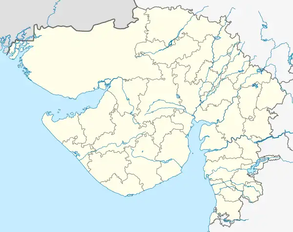
| Coordinates: 22°22′17″N 70°23′11″E / 22.371262°N 70.38633°E | |
| Country | |
| State | Gujarat |
| District | Jamnagar |
| Population (2001) | |
| • Total | 250 |
| Languages | |
| • Official | Gujarati, Hindi |
| Time zone | UTC+5:30 (IST) |
| Postal Index Number | 361130 |
| Vehicle registration | GJ |
| Website | gujaratindia |
Amrapur is a town and former petty princely state in Jamnagar, in Kathiawar, Gujarat state, western India.
Village
Most inhabitants are farmers. Some of them are connected with animal husbandry. Mr Vijaybhai Borsadiya is currently sarpanch of the village.
Location
Amrapur is surrounded on three sides by a dam. Amrapur is located at 22°22′17″N 70°23′11″E / 22.371262°N 70.38633°E On Globe.[17] The road to it is from Kalavad to Ranuja, Dhutarpur, Sumary, Kharavedha, Amrapur.
Statistics
- Population (approx): 250
- Buildings (approx): 25
- Temples: 3
- Shops: 2
- Primary School:1
History
| Princely state |
|---|
| Individual residencies |
| Agencies |
|
| Lists |
Amrapur was the seat of an eponymous non-salute princely state in Halar prant, comprising it and another village on Saurashtra peninsula in present Gujarat, western India. It was ruled by Muslim Chieftains of a Shaikh family.
It had a population of 1210 in 1901, yielding a state revenue of 8,000 Rupees (all from land, 1903-4) and paying 511 Rupees to the British.
Photo gallery
 main entrance of Amrapur village
 Hanuman temple Amrapur
 Shiva temple Amrapur
 a view of village Amrapur
 a view of village Amrapur
 Primary school Amrapur
 Gam no choro Amrapur
 Bapa sitaram oto Amrapur
 Borsadiya family's makan in Amrapur
 a banyan tree in village.
External links and Sources
References
- ↑ "Archived copy". Archived from the original on 2 February 2020. Retrieved 20 October 2013.
{{cite web}}: CS1 maint: archived copy as title (link) - ↑ "Archived copy". Archived from the original on 20 January 2019. Retrieved 12 March 2014.
{{cite web}}: CS1 maint: archived copy as title (link) - "Archived copy". Archived from the original on 2 February 2020. Retrieved 20 October 2013.
{{cite web}}: CS1 maint: archived copy as title (link) - "Archived copy". Archived from the original on 20 January 2019. Retrieved 12 March 2014.
{{cite web}}: CS1 maint: archived copy as title (link) - "Archived copy". Archived from the original on 2 February 2020. Retrieved 20 October 2013.
{{cite web}}: CS1 maint: archived copy as title (link) - "Archived copy". Archived from the original on 20 January 2019. Retrieved 12 March 2014.
{{cite web}}: CS1 maint: archived copy as title (link) - ↑ "Archived copy". Archived from the original on 2 February 2020. Retrieved 20 October 2013.
{{cite web}}: CS1 maint: archived copy as title (link) - ↑ "Archived copy". Archived from the original on 20 January 2019. Retrieved 12 March 2014.
{{cite web}}: CS1 maint: archived copy as title (link) - ↑ "Archived copy". Archived from the original on 2 February 2020. Retrieved 20 October 2013.
{{cite web}}: CS1 maint: archived copy as title (link) - ↑ "Archived copy". Archived from the original on 20 January 2019. Retrieved 12 March 2014.
{{cite web}}: CS1 maint: archived copy as title (link) - ↑ "22°22'16.5"N 70°23'10.8"E".

