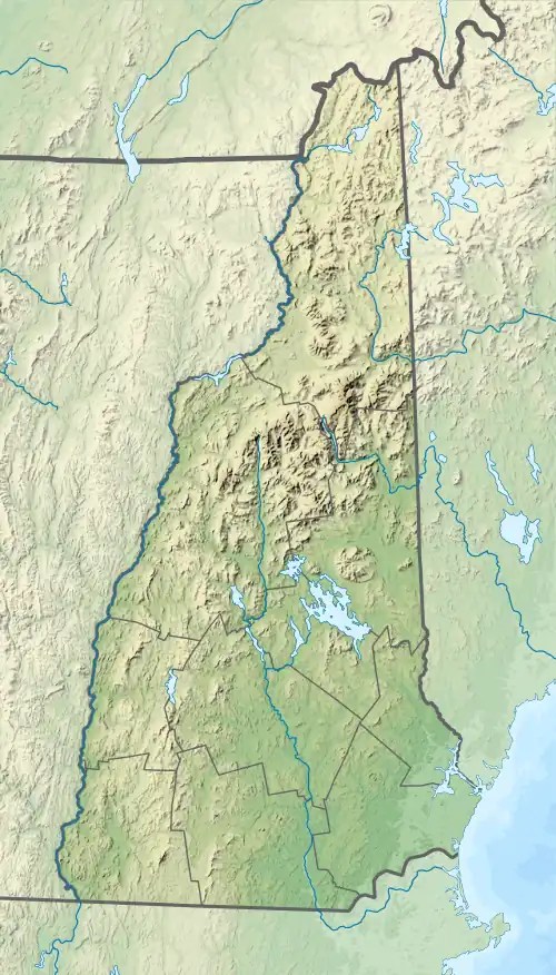
| Akers Pond | |
|---|---|
 Akers Pond  Akers Pond | |
| Location | Coos County, New Hampshire |
| Coordinates | 44°47′55″N 71°09′37″W / 44.79861°N 71.16028°W |
| Primary inflows | Greenough Brook |
| Primary outflows | Clear Stream |
| Basin countries | United States |
| Max. length | 1.3 mi (2.1 km) |
| Max. width | 0.6 mi (0.97 km) |
| Surface area | 276 acres (1.12 km2) |
| Average depth | 18 ft (5.5 m) |
| Max. depth | 26 ft (7.9 m) |
| Surface elevation | 1,228 ft (374 m) |
| Settlements | Errol |
Akers Pond is a 276-acre (1.1 km2)[1] water body located in Coos County in northern New Hampshire, United States, in the town of Errol. Water from Akers Pond flows via Clear Stream to the Androscoggin River and thence into Maine.
The lake is classified as a coldwater fishery, with observed species including rainbow trout and largemouth bass.[2]
See also
References
- ↑ New Hampshire GRANIT state geographic information system Archived 2013-08-03 at the Wayback Machine
- ↑ "Akers Pond, Errol" (PDF). NH Fish & Game. Retrieved August 6, 2014.
This article is issued from Wikipedia. The text is licensed under Creative Commons - Attribution - Sharealike. Additional terms may apply for the media files.