Abetifi
Highest Habitable Point In Ghana | |
|---|---|
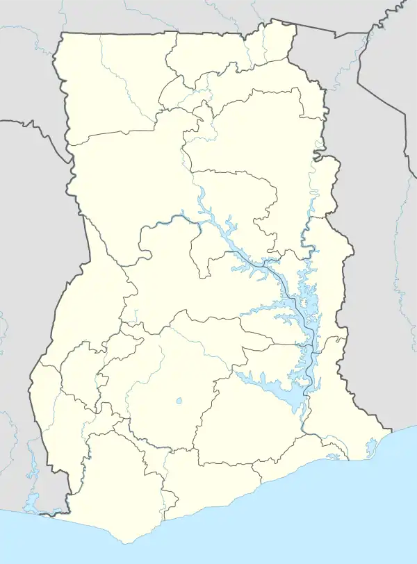
 Abetifi Location of Abetifi in Eastern Region, Ghana | |
| Coordinates: 6°40′N 0°45′W / 6.667°N 0.750°W | |
| Country | |
| Region | Eastern Region |
| District | Kwahu East District |
| Elevation | 1,972 ft (601 m) |
| Time zone | GMT |
| • Summer (DST) | GMT |

Ramseyer Presbyterian chapel.
Abetifi is a small town in south Ghana and is the capital of Kwahu East district, a district in the Eastern Region of south Ghana.[1][2]
References
- ↑ "Kwahu East district". Archived from the original on 2013-10-29. Retrieved 2012-12-29.
- ↑ Bureau, Communications. "President Akufo-Addo Inspects €4 Million Atibie Hospital Project; $77 Million Mpraeso-onyimso Road". www.presidency.gov.gh. Retrieved 2022-05-25.
6°40′N 0°45′W / 6.667°N 0.750°W
This article is issued from Wikipedia. The text is licensed under Creative Commons - Attribution - Sharealike. Additional terms may apply for the media files.

.svg.png.webp)